I though a map would hugely beneficial for people when they go around the tracks so the don't get lost but also have something that they can use to contact people if they are in trouble.
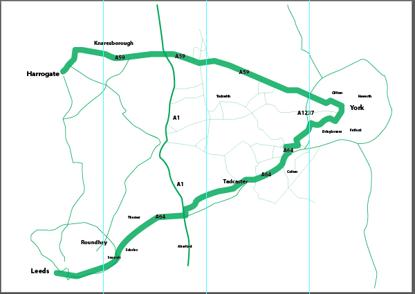
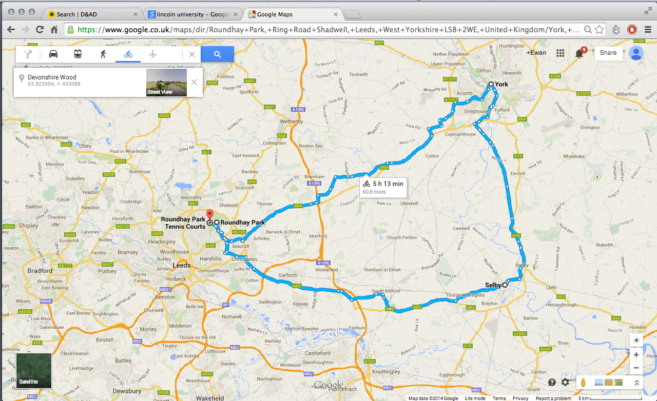
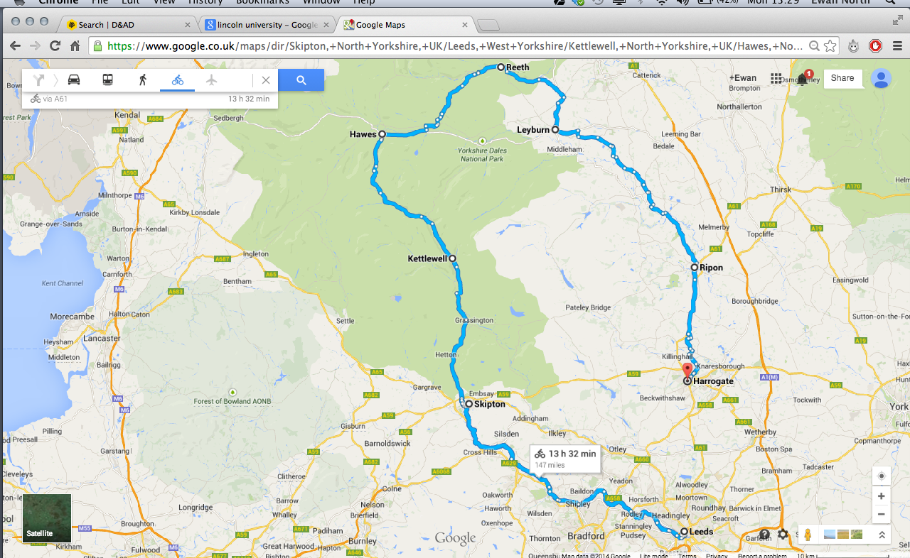
I firstly went on google maps and created a track that was the distance i wanted it to be, i then screenshot that track so i could create vector from it


I also filled out the smaller roads with thin lines, so if people were to get lost they can use the map to get back on to the main track.
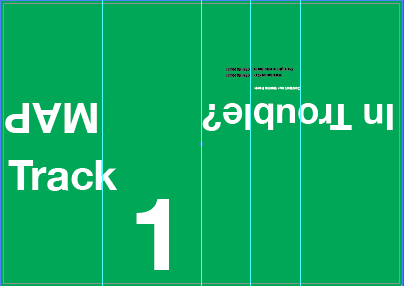
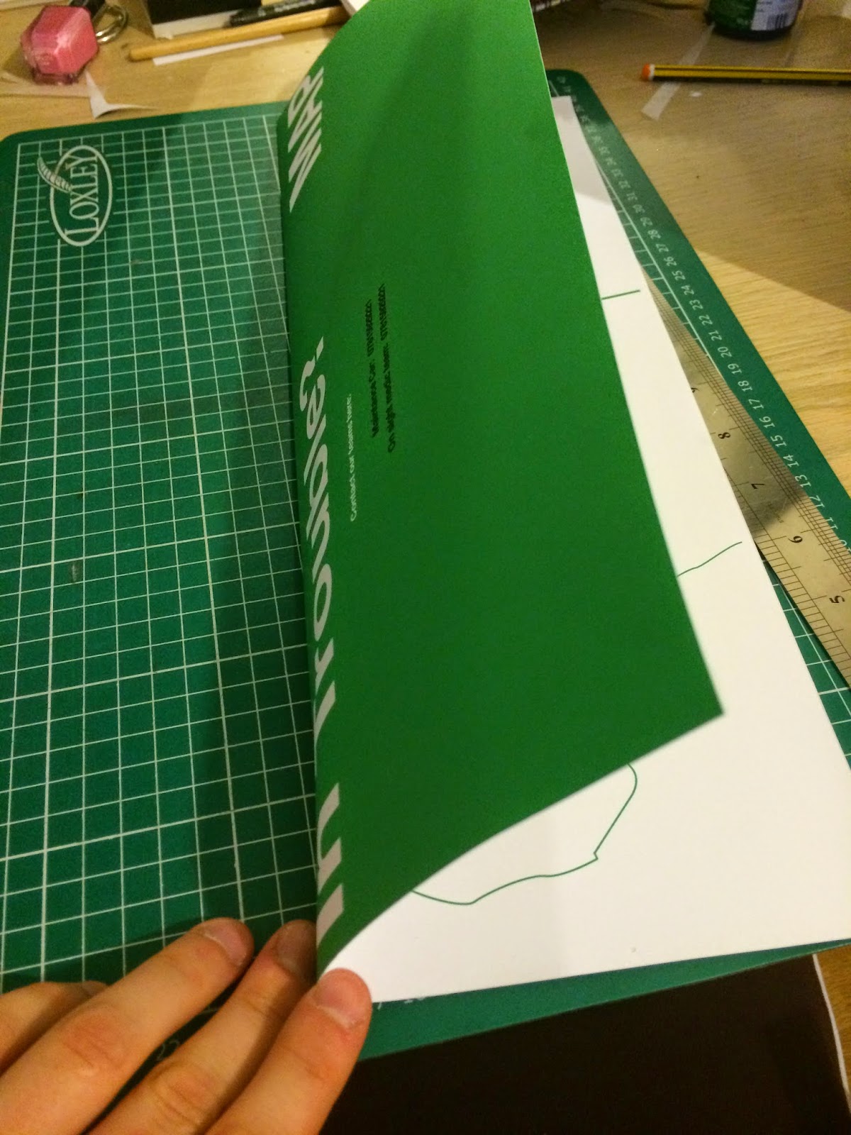
I had decided to create a hotdog book so people could easily fold it up and put it away in a pocket and so it is easy to carry around.
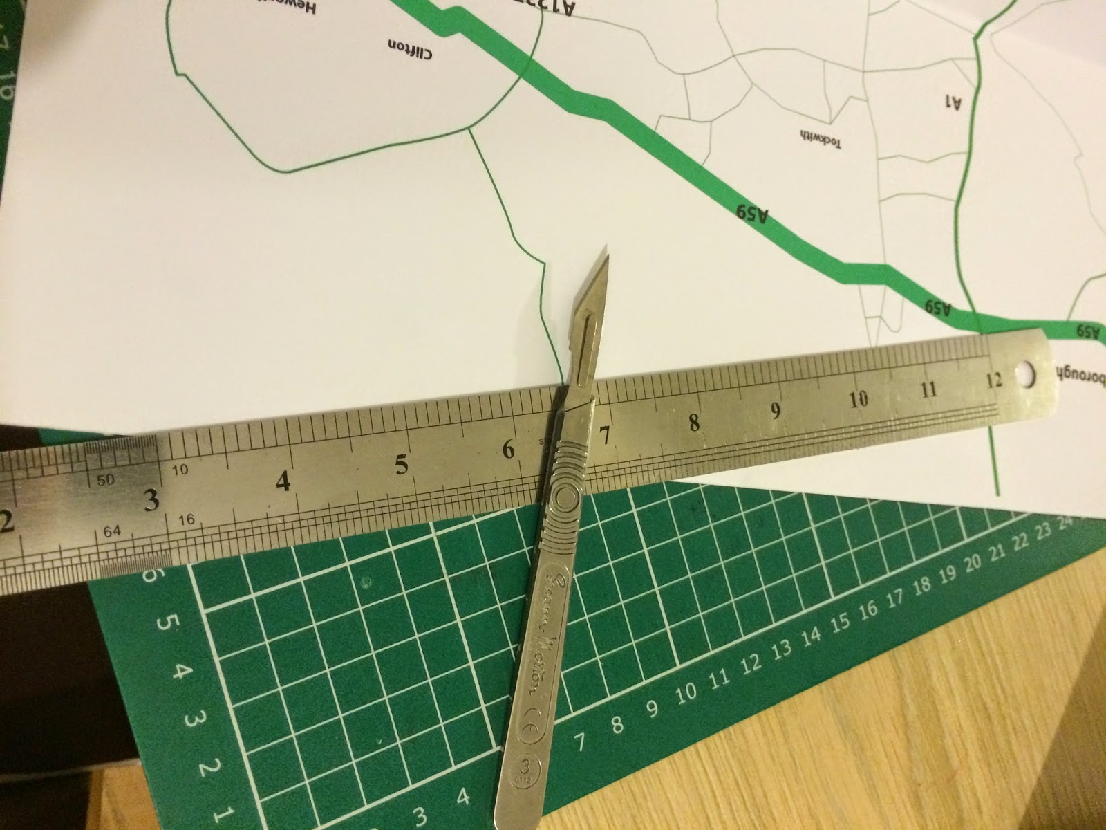
I also had to flip the information that was at the top so when it was printed and folded it read correctly
I then made up the next 3 races and carried out the same procedure as i did before

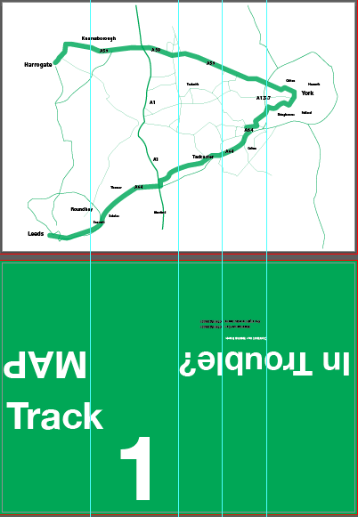
After it had been printed i then started to create the hotdog book


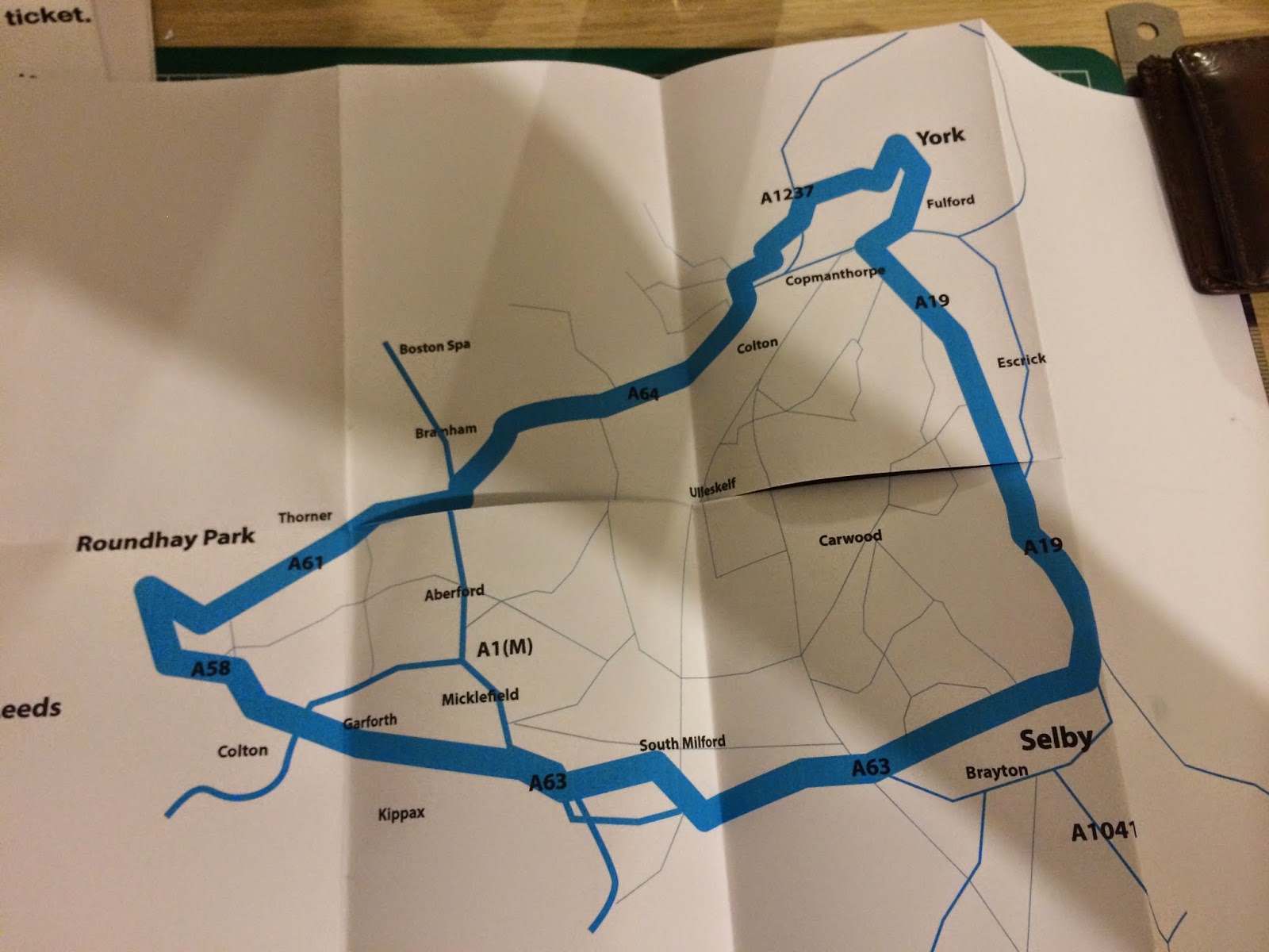

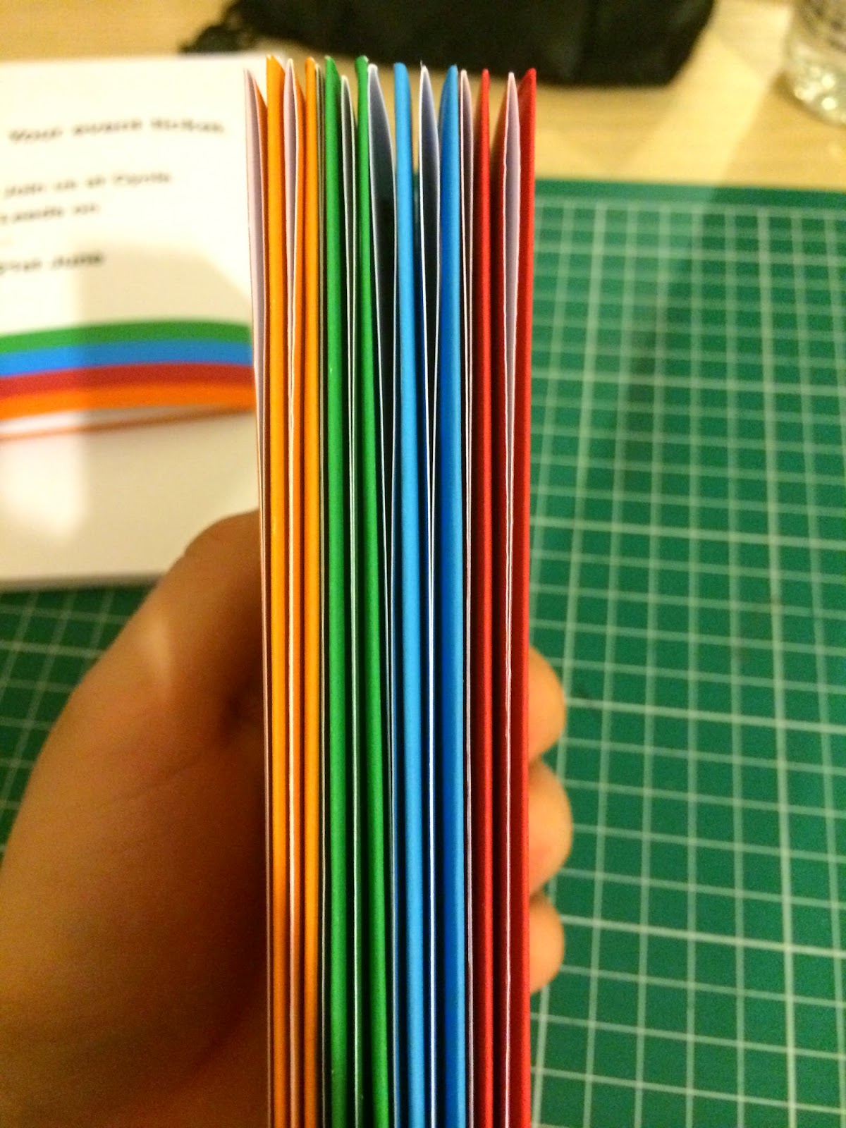
I really like how these have turned out, the colours work really well together and the maps themselves will come in handy for people on the track, the size also came out well when it was folded, it was a perfect fit for a pocket. I also feel it works really well with the rest of the brand and it isn't something where i have just stuck the logo.
No comments:
Post a Comment